South Banning Area
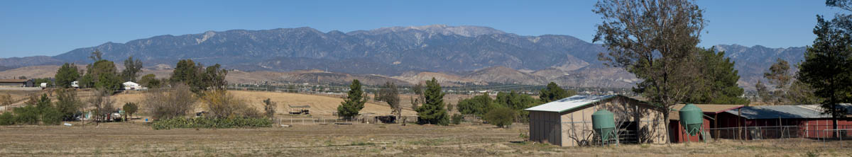
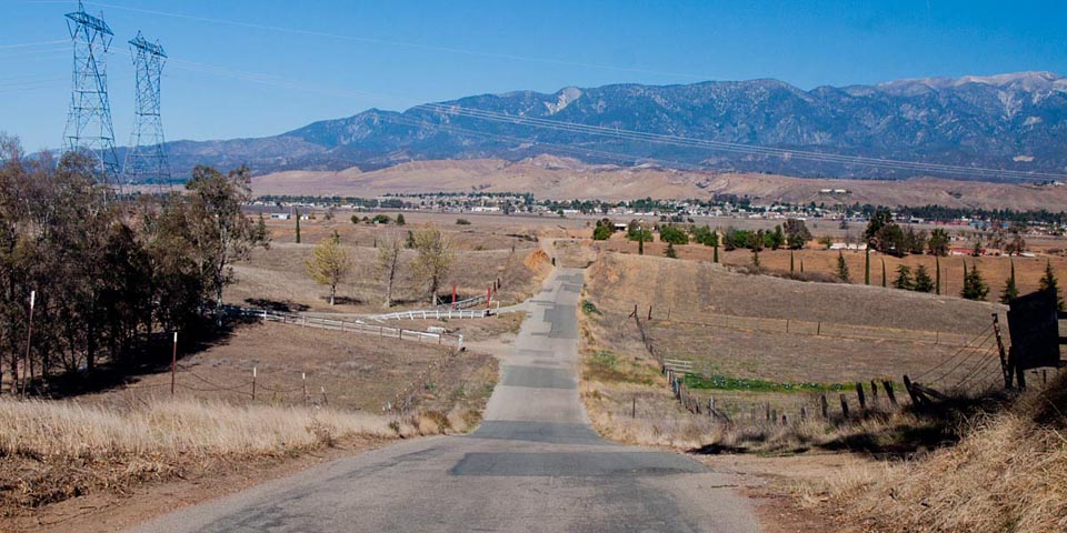
The area is everything south of the railroad tracks from the airport west to highland Springs Road. South Banning is a mostly rural area consisting of horse ranches and farms, mixed in with some low and middle income older homes. There has been some tract homes built along with a new baseball park. To the East is the airport (currently closed)and commercial businesses. The new Banning Hgh School is loacated of of San Gorgonio. The west end has Spring Valley Retirement Community and The Magor Shopping Stores
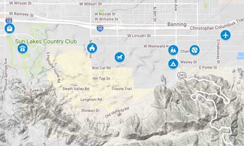
You can still take the Old Idyllwild Road up to Poppet Flats but it is still all dirt and bumpy. KOA Campground is still at the fork to highway 243.
Historical Note
La Chancla (the "Shoe") El Sapo (the "Frog") and El Lagartijo (the "Lizard") were all historic barrios in Banning with roots established as early as the 1880s. The Southern Pacific Railroad was constructed through Banning in 1875 and 1876 and much of the workforce on the railroad were men of Mexican descent. Some of the areas of Chancla and Sapo were used for housing for the railroad workers and commercial ventures developed along Livingston Street in response to the new community. El Sapo (the "Frog") got its name from the frogs that chirped at night while congregating at the water sheds used to irrigate the orchards.
Neighborhoods | Community | Business
Neighborhoods
-
South 22nd St. Entrance to Dysart Park
-
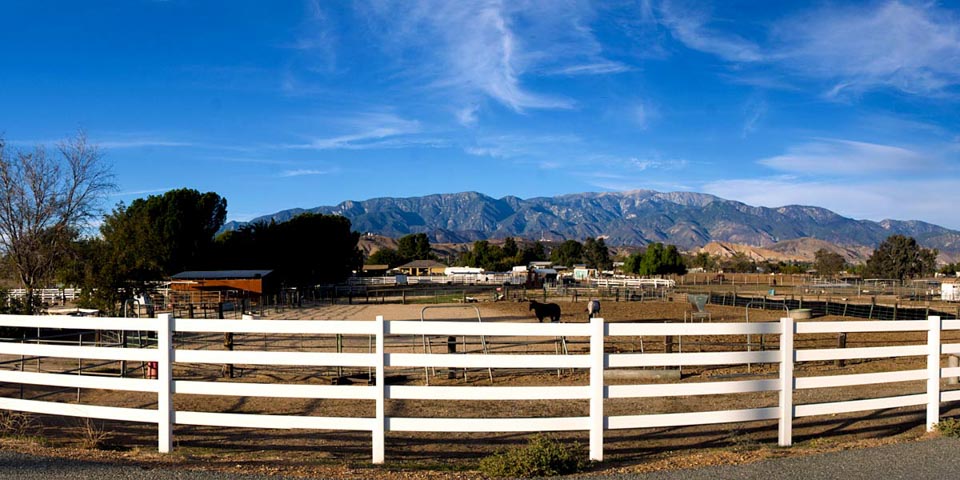
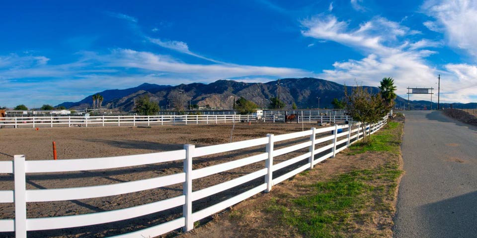
Horse Ranch
-
South Banning
-
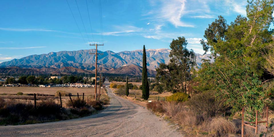
Old Idyllwild Rd.
-
East Charles
-
South Banning
-
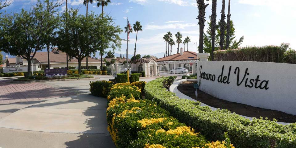
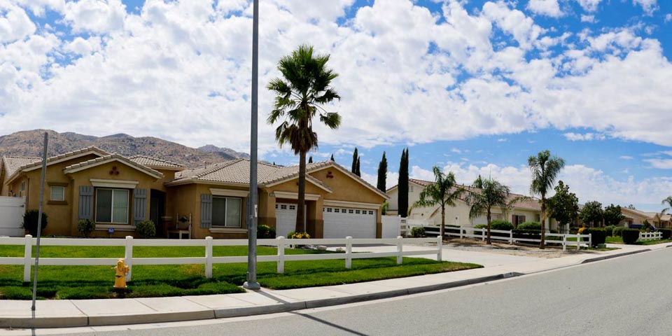
Serrano Del Vista Retirement Community
-
Homes - Serrano Del Vista
-
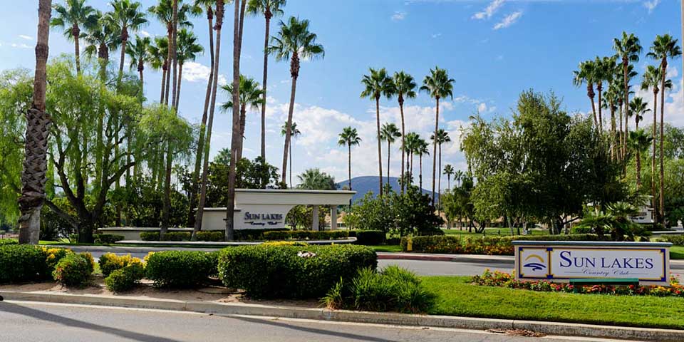
Sun Lakes
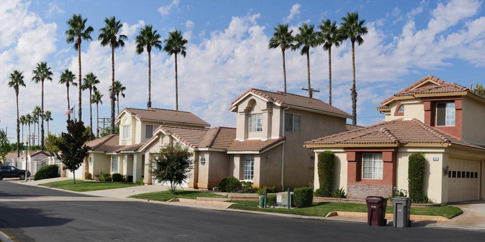
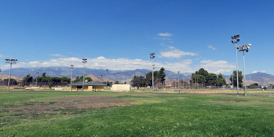
South Banning neighborhoods are mostly rural ranches mixed in small older communities. There has been some development over the years, mainly Sun Lakes and Serrano Del Vista, two 55 + gated communities and some tract homes with a baseball park A major portion of the west end to Highland Springs Rd. is Spring Valley . The over 55 retirement community offers a lot of activitys and programs for seniors.
Historical Note
One interesting aspect of the Hmong immigration to the San Gorgonio Pass is that some of the first Hmong arrivals in the early 1980s were allowed to live on the Morongo Reservation. An individual who owned approximately 20 acres of land on the reservation made arrangements for some Hmong families to build or rent on the land. The first area in Banning to be densely populated by Hmong was between Barbour and Westward off of Eighth Street.
Community
-
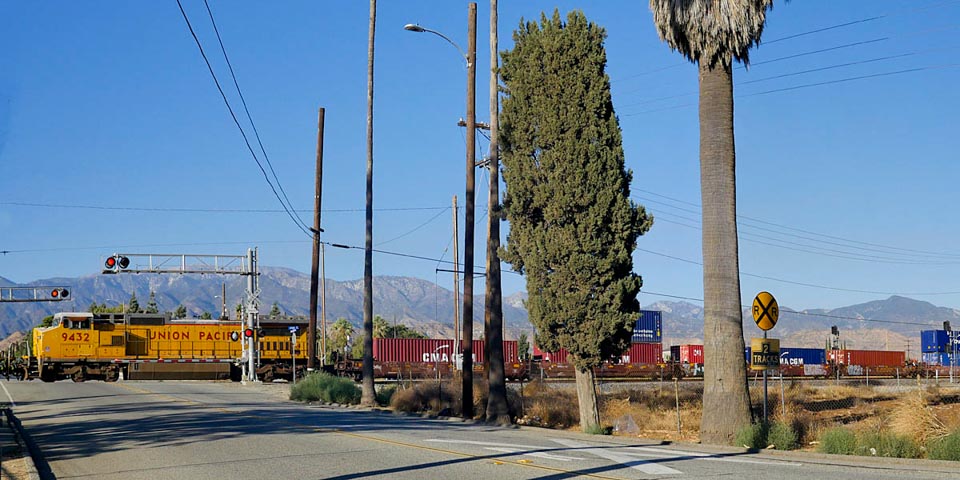
Westbound Train
-
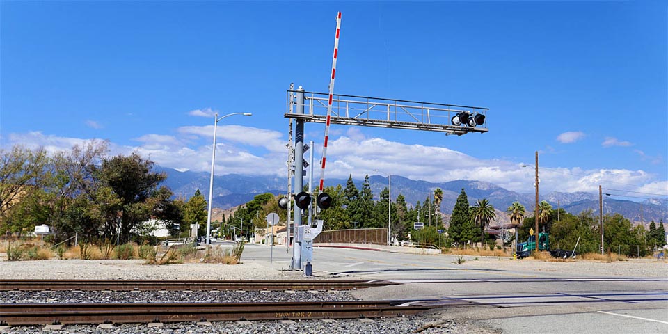
Railroad Crossing San Gorgonio Ave
-
Lyons Recreational Park
-
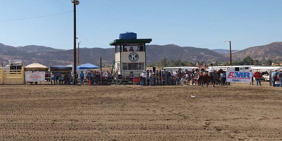
Dysart Equestrian Park Rodeo
-
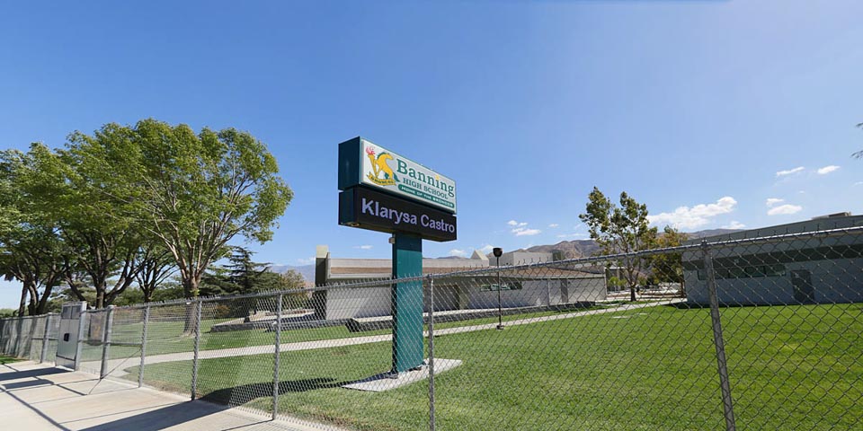
Banning High School
-
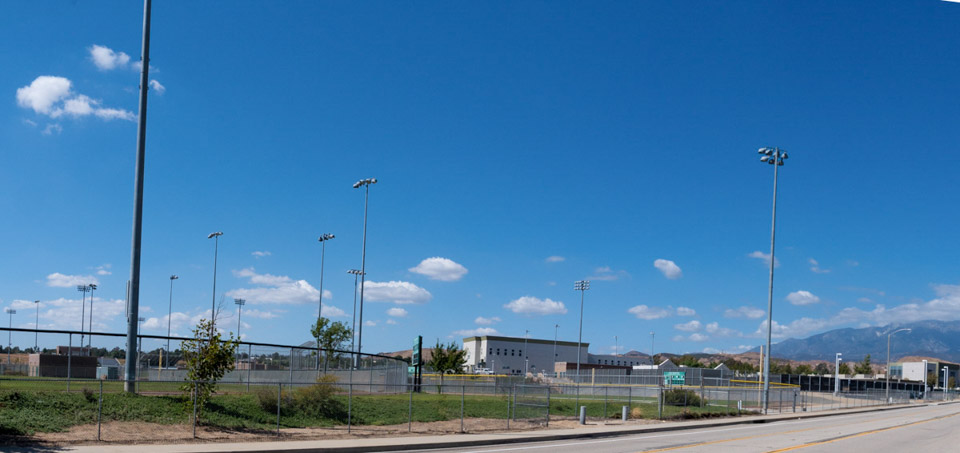
BHS Activity Fields
-
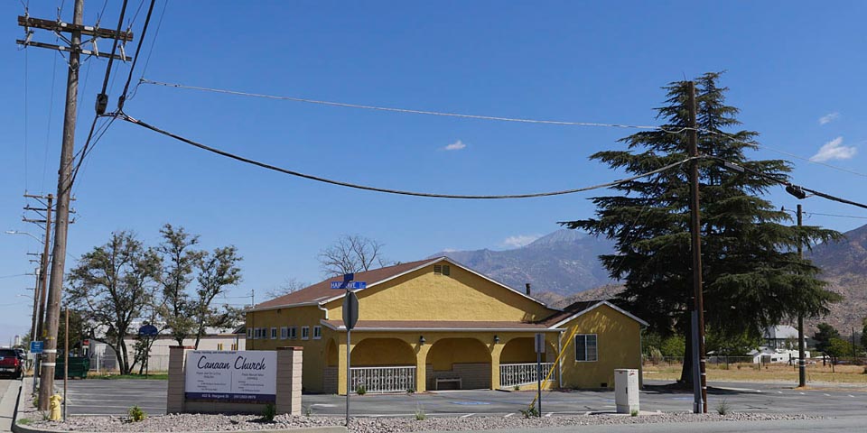
Canaan Church
-
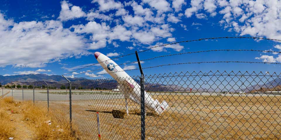
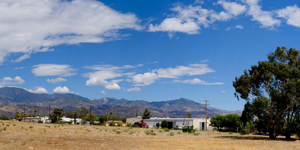
Banning Municipal Airport
-
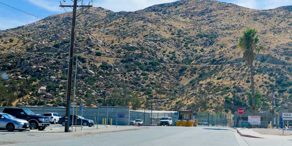
Road Camp
A major portion of the west end to Highland Springs Rd. is Spring Valley . The over 55 retirement community offers a lot of activitys and programs for seniors.
Dysart Equestrian Park hosts the annual Stagecoach Day Rodeo.
The new Banning High School, located 2 miles south on San Gorgonio Ave., was completed in 1992. The old high school is now Nicolet Middle School.
Historical Note
The Banning Municipal Airport, which has been operating since the 1940s, is in the process of being shut down. The city council has voted to close the airport, a process that could take many years.
Business
-
7 Star Food Store
-
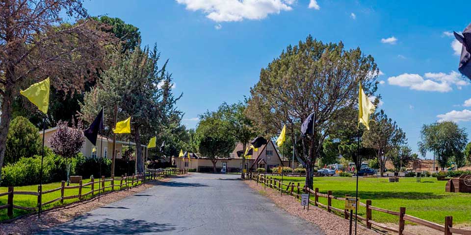
Entrance to KOA Campground
-
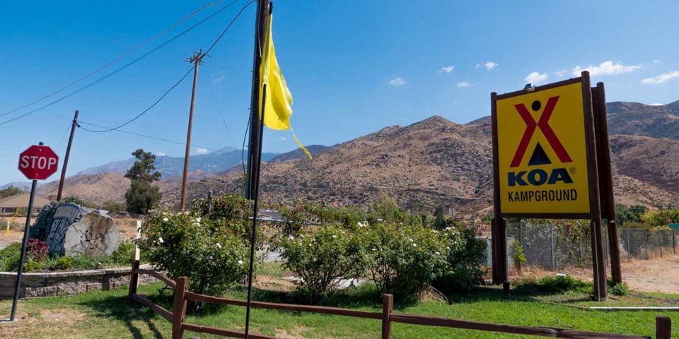
Highway 243 road to Idyllwild
-
Commercial Buildings
-
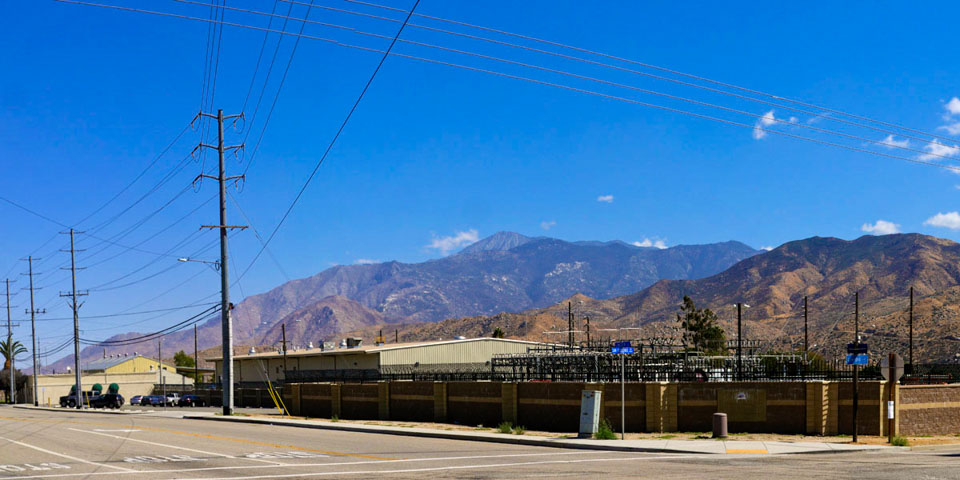
Banning Electric Sub-station
-
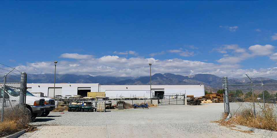
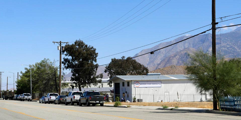
Warehouse
-
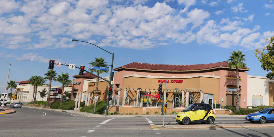
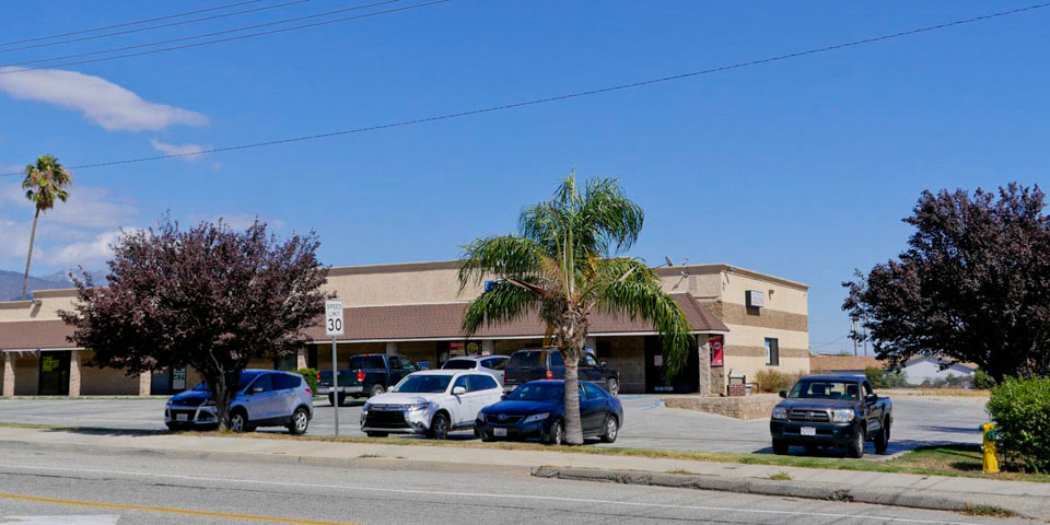
Highland Springs Shopping Center
-
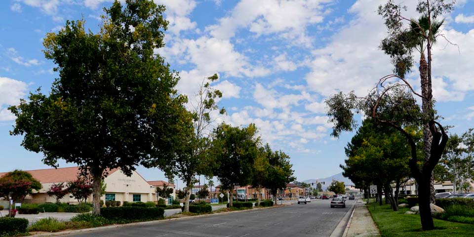
Highland Springs looking north towards Ramsey
-
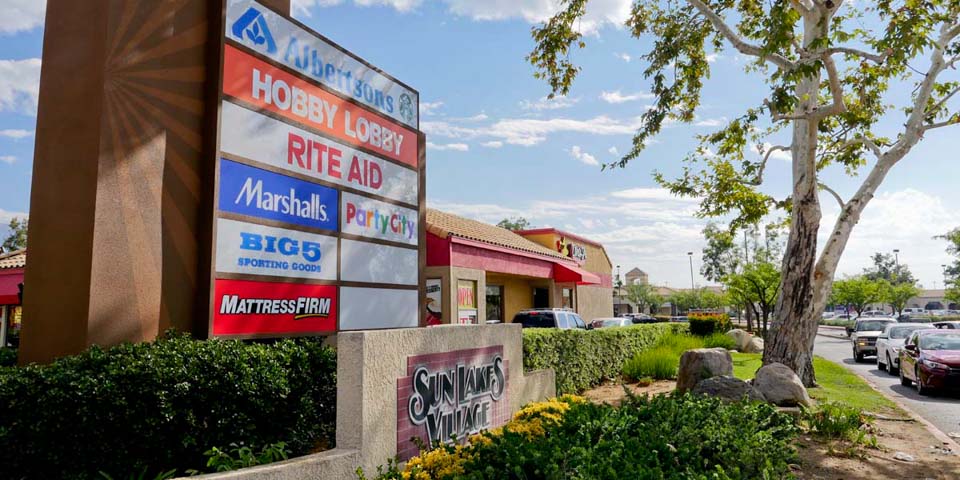
Entrance to Sun Lakes Village
-
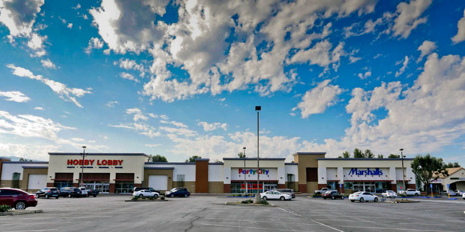
New department stores at the old Kmart building
Banning industrial and commercial buildings are located in eastern area of South Banning. Banning's major shopping center can be found to the west along Highland Springs Rd.
heading south on San Gorgonio there will be a small market and the KOA Campground located just before head up to Mount San Jacinto. The campground is one of the oldest businesses still operating today.
You will find Banning's major shopping center off of Highlands Springs Rd., south of Highway 10. Businesses include - Big 5, Marchalls, Party Palace, Hobby Lobby, Albertsens, Baskin Robbins, and much more.
Historical Note
Before the construction of the freeway South San Gorgonio Ave. attracted many businesses running north and south of the railroad tracks.
- South Banning Links
- Sun Lakes Village Shopping Center - Facebook page
- Sun Lakes Country Club - www.sunlakescc.com
- KOA Campground - http://koa.com
- Beaver Primary Care Center - https://www.beavermedicalgroup.com
- Banning Churches - www.churchfinder.com/churches/ca/banning