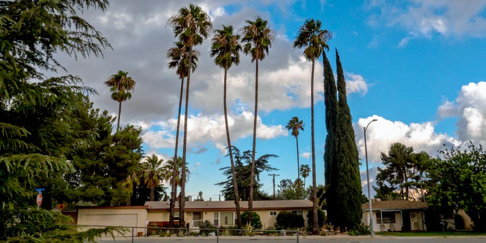
West Banning
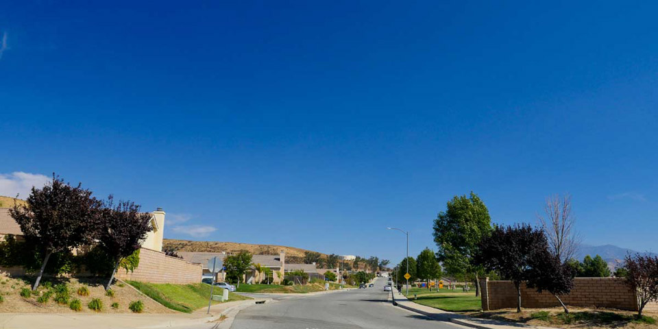
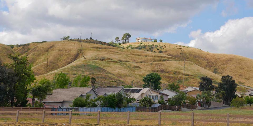
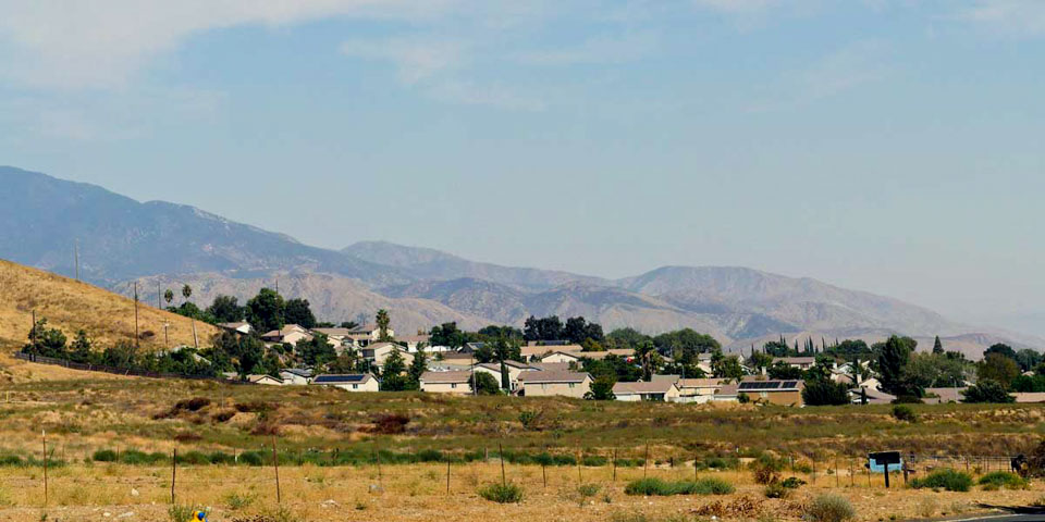
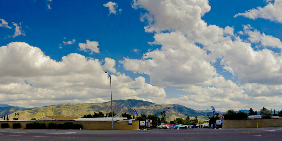
West Banning (north of highway 10 and west of 8th Street to Highland Springs Road) has a mixture of older homes closer to town, and newer neighborhoods built along Wilson St. westward to Highland Springs. Businesses run east to west along Ramsey St., and north to south along Highland Springs Rd. The majority of medical complexes including the Pass Hospital can be found north of Ramsey at Highland Springs.
Historical Note
In the 1900s the area between Sunrise and Sunset Streets, and south of Wilson Street to the Tracks was known as the " Grove". Groves of Eucalyptus were planted to be used as lumber. The trees never matured and the venture was scrapped.
Neighborhoods | Community | Shopping
Neighborhoods
-
North 10th Street
-
Mockingbird Lane
-
Cypress Street
-
Hillside Drive
-
West Gilman
-
George st.
-
McCoy's Hill
-
Silver Star Drive
-
From West Wilson looking north east
-
West Wilson
-
Sunrise Mobile Park
-
Sunset West Banning
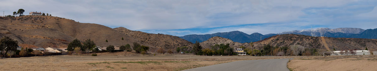
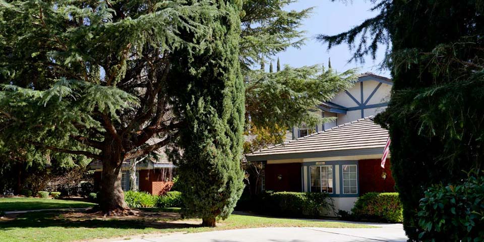
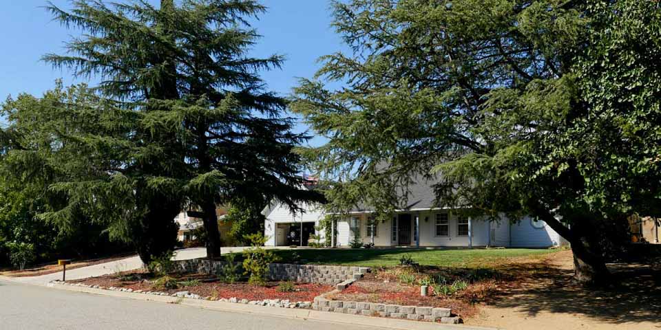
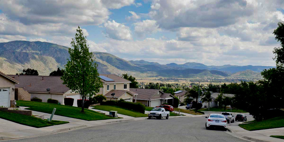
While the older neighborhoods have stayed the same, there have been new housing tracts built mostly off of Wilson St. westward to Highland Springs road. Mountain ave has many upper middle class homes nestled up the the foothills of Banning. the largest development is at Wilson and Highland Springs. Atwell has hundreds of new 2 story houses which have made Banning the fastest growing small city in California (2021).
Historical Note
Indian School Lane was named after the St. Boniface School for Indians established in the late 1800s to educate and train local tribes. It was located at the west end of Indian school lane west of 8th st. ( the Grove )
Community
-
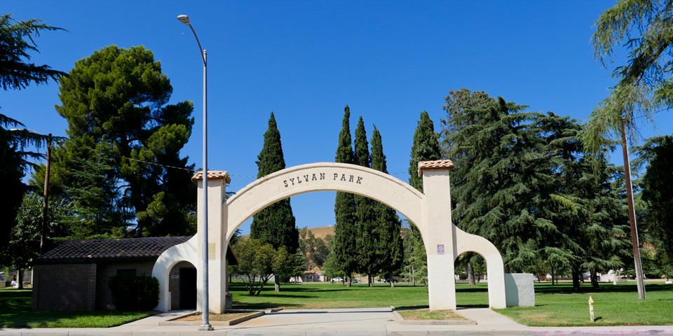
Sylvan Park
-
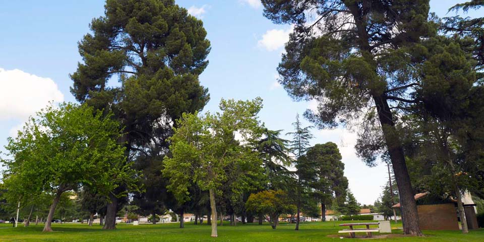
Sylvan Park
-
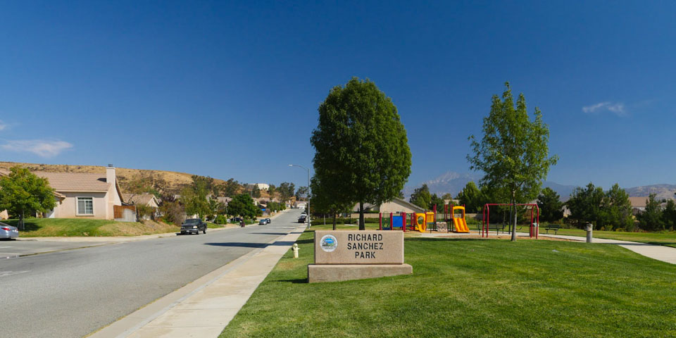
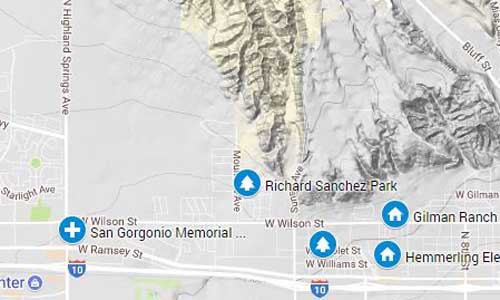
Richard Sanchez Park
-
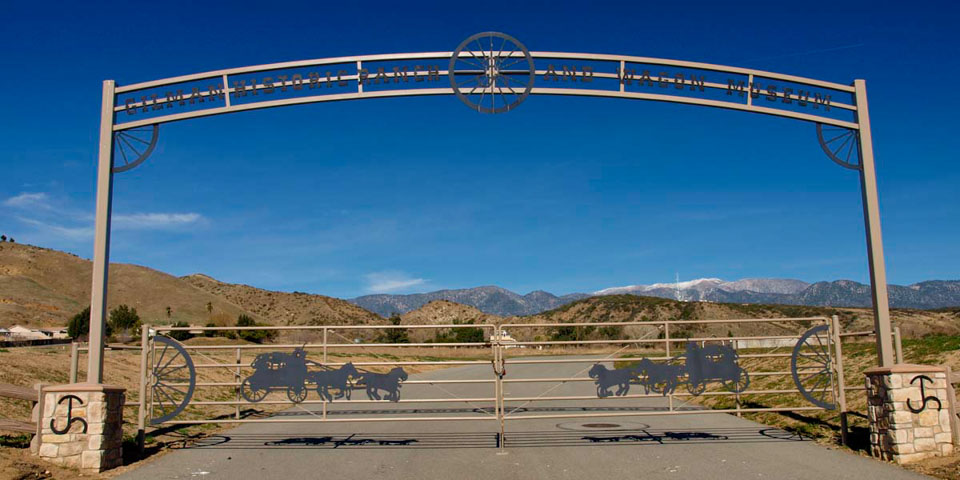
Gilman Ranch entrance
-
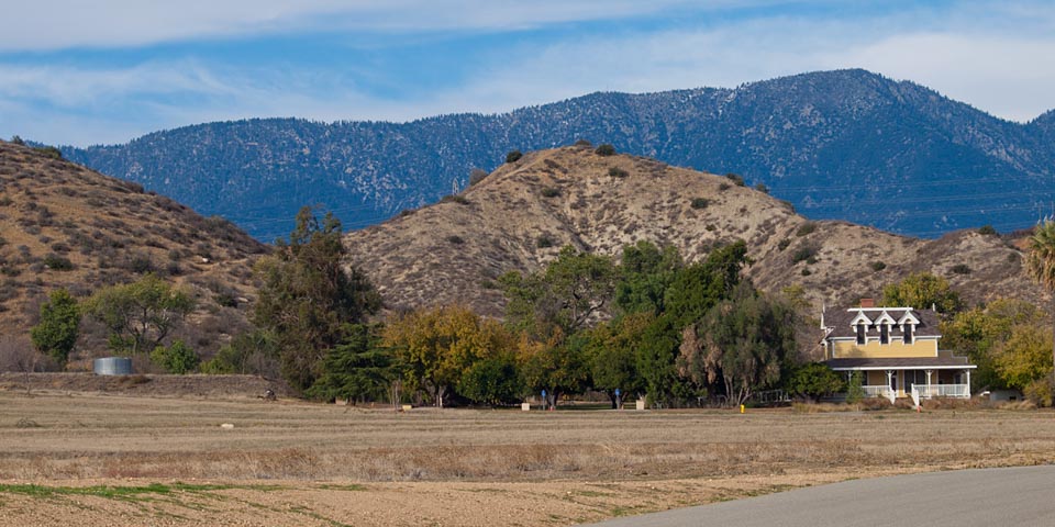
Gilman Ranch
-
Hemmerling School
-
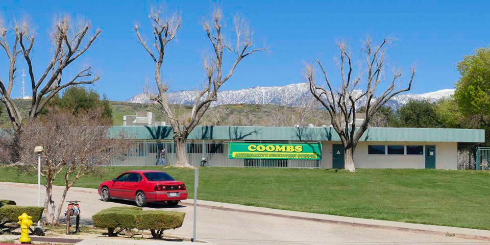
Coombs Alternative School
-
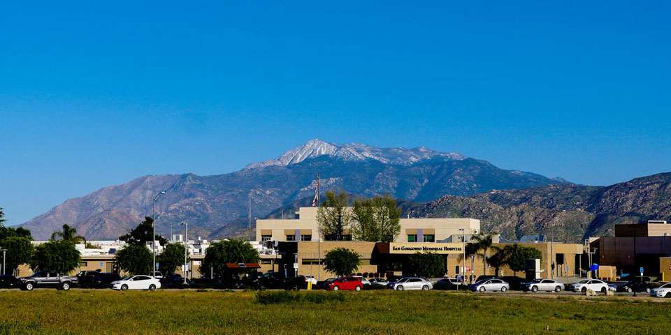
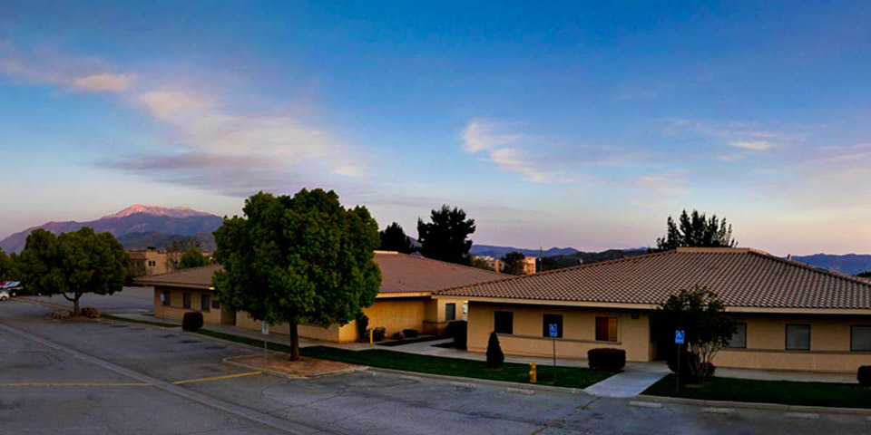
San Gorgonio Hospital
-
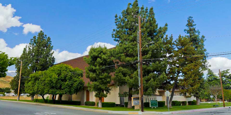
7th Day Adventist Church
-
Calvary Christian School
-
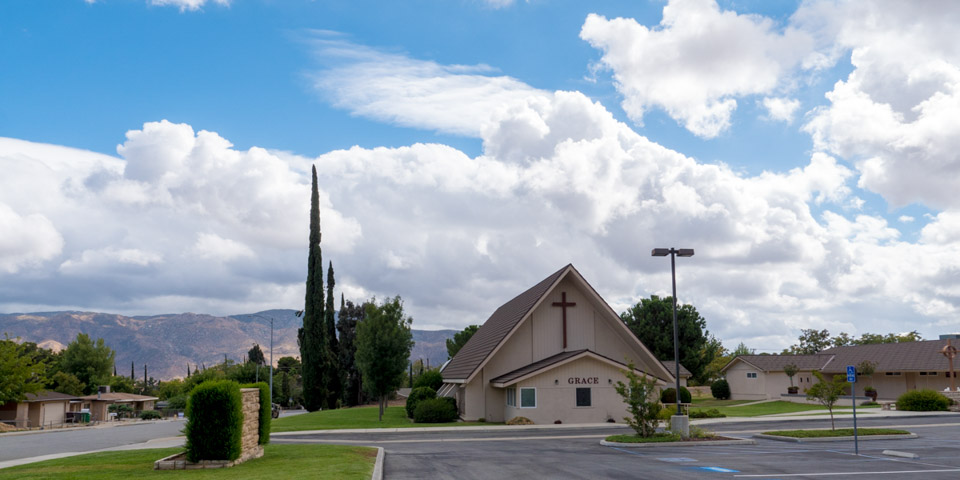
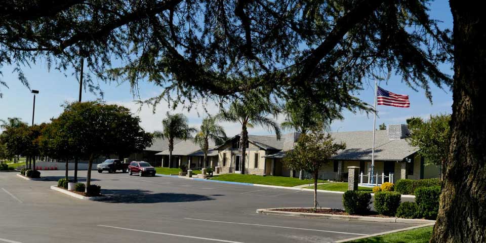
Grace Church
Sylvan Park still has a baseball field, play ground, basketball courts and plenty of picnic tables. A recent freak tornado tore through the park knocking down a dozen trees. The Historic Gilman Ranch has been restored with a stagecoach museum , hiking trails and a park. The 2 schools are Nicolet (elementary) and Susan B. Coombs. Coombs which was the Jr. high school for years, is now Alternate Education. the San Gorgonio Hospital is still located on Highland Springs Rd. between Ramsey St. and Wilson St. There are many churches in the west area of Banning.
Historical Note
The first permanent landmark in the Banning area was an adobe house constructed by Jose Pope in 1854 on the present Gilman Ranch site . John Gilman purchased the land and began construction on the 2 story house in 1879 while living in the adobe. The house was lost to fire, and rebuilt.
Business
-
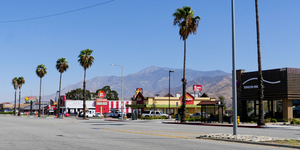
Fast food Row Ramsey
-
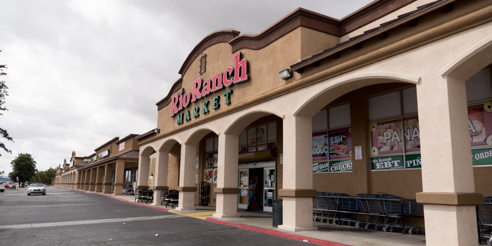
Rio Ranch Market
-
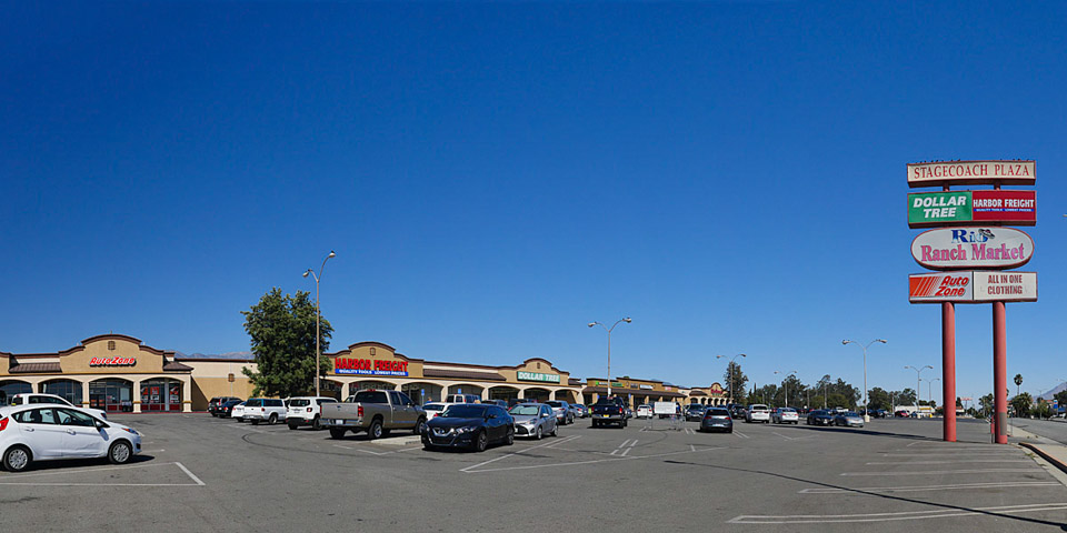
Stagecoach Plaza
-
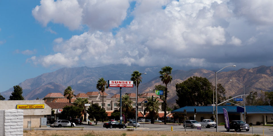
Sunset and Ramsey
-
The Midway
-
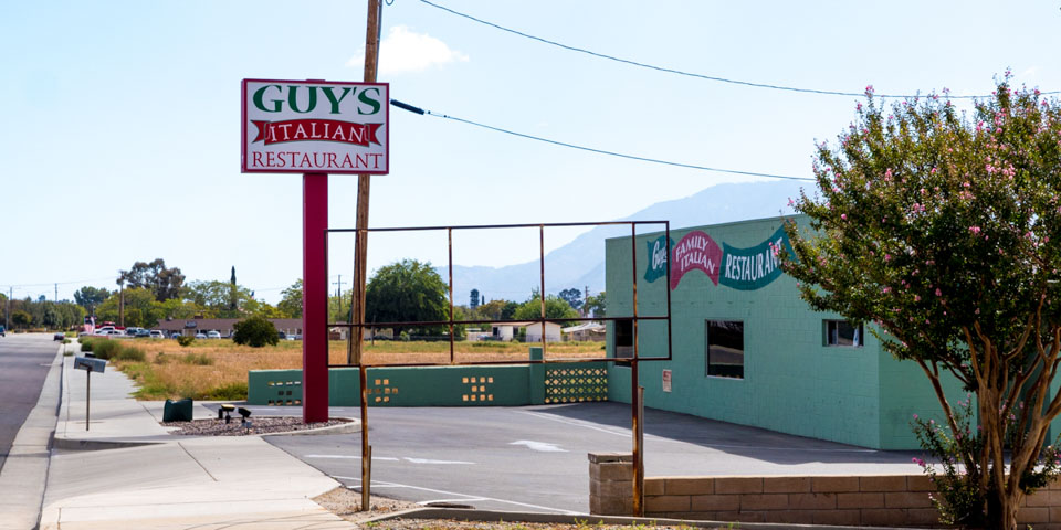
Guy's Italian
-
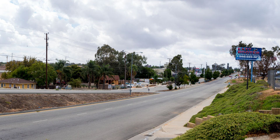
West Ramsey before Highland Springs Rd
-
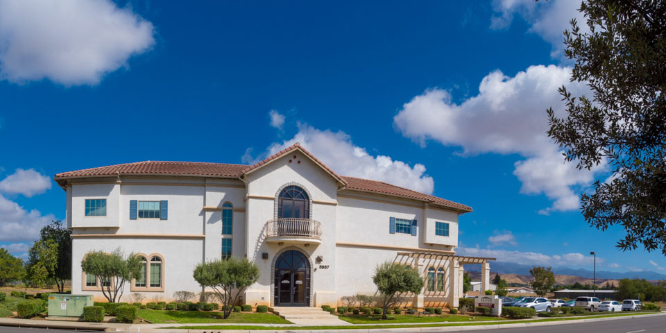
Beaver Medical Center
-
Rancho Paseo Medical Center
As Banning grew businesses expanded along Ramsey St. East of 22nd street is the fast food and motel corridor.
Sunst and Ramsey has a strip mall with newer businesses. Rio Ranch Market, Dollar Tree, and Harbor Freight are the main stores with many small businesses in between. guys Burgers has been around for a while and is still serving their great Burgers and Mexican food.
The Midway (Ramsey west of Sunset to highland Springs) Hasn't changed much with the exception of the 2 Beaver Medical complexes just before you reach Highland Springs. Guys Italian which was around in the 60's is still in Business.
Historical Note
The junction of Highland Home Rd. and Ramsey Street is the approximate center of the "Midway" section. The unofficial borders have changed through the years as Banning annexed more land to the west of Sunset Avenue. Lewis Robertson remembers the area being known as "Midway" as early as the 1930s and 1940s.